Move your mouse over the red circles on below map to see photos from those points
Point and click on any one of the river sections just above to switch to that section
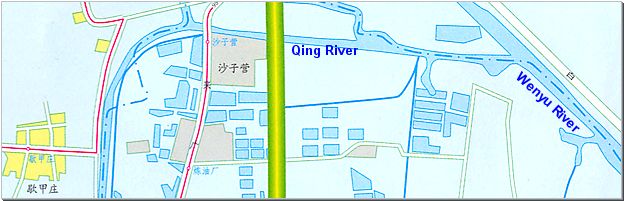
Qing River is now for the first and only time flowing straight north. On both sides is nothing but farm land, high voltage wires and the occasional village.
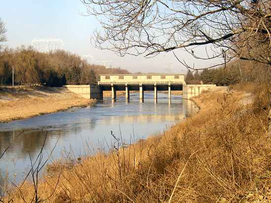
The river here comes up on its last sluice before emptying its waters into Wenyu River. This sluice happened to be completely open on this early December day.
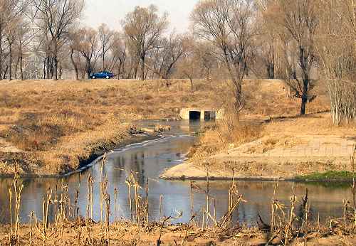
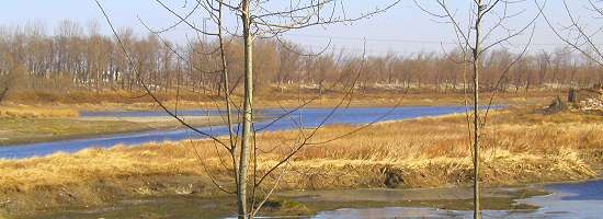
Qing River changes its course 90° to its final eastward run. A tributary water flow enters Qing River from north.
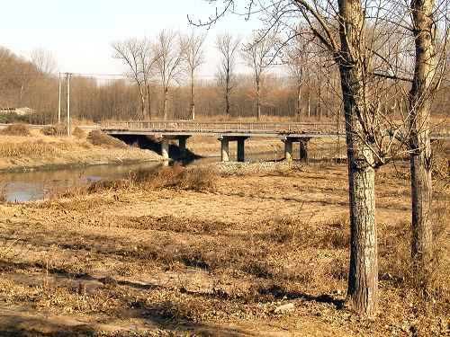
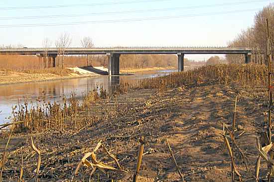
Lai Guang Yin Bei Lu Bridge. Despite its modest appearance, this road is the main north-south traffic carrier next to the west bank of Wenyu River. On the photo the road straddles depleted corn fields and Qinghe.
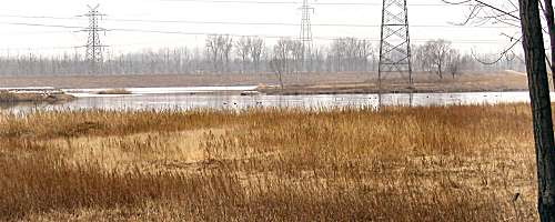
Maize stumps, Qing River and Jingcheng Expressway.
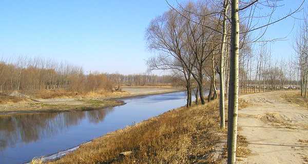
Amidst farms and fields Qinghe flows gently towards its end at Wenyu River. Note: The dirt road on the right is difficult to negotaite for a normal car.
Top photo shows where Qing River blends with Wenyu River looking east. The bottom photo shows the same location looking west. The tallest trees in the far background line the road from where the top photo was taken.