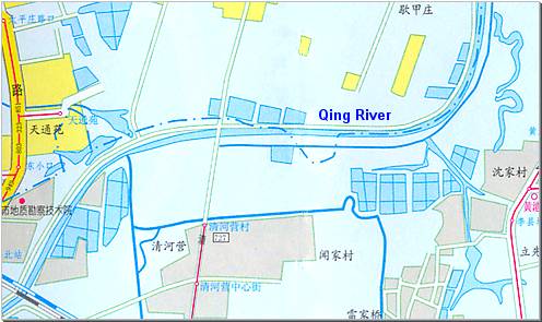
Move your mouse over the red circles on below map to see photos from those points
Point and click on any one of the river sections just above to switch to that section
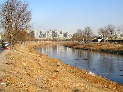
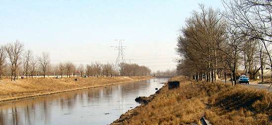
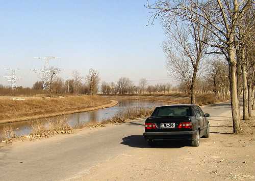

Only farmland and small villages line the river after it has passed the railroad.
But already in the distance -just a little more than a kilometer away- urban development is shooting up.
Not too much water this time of the year. It takes a jeep to travel the dirt road on the south bank (left). Fortunately there is a paved road on the northern bank.
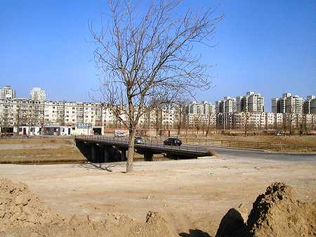
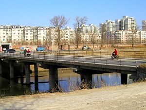
Qing Yuan Lu Bridge.
This road is not passable southbound having been blocked with a metal gate at the north end of the village (where the red line begins on the map).
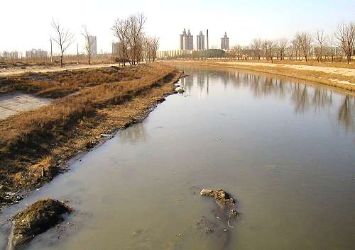
Just countryside on both banks.
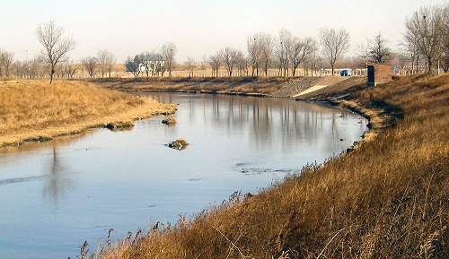
Qing River now turns almost 90° north into an almost straight northward direction.
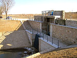
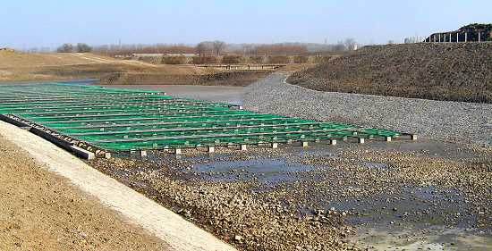
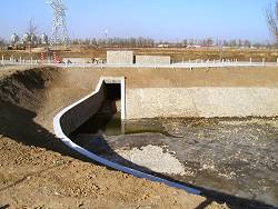
Right at the bend there is a brand new, odd opening in the south bank (circle).
This is what you'll find on the south side of the water sluice.
A gigantic and elaborate cobweb of irrigation canals, drainage and bridges is under construction to expand possibilities of cultivation just a few kilometers north of the busy capital.
The river bending sharply northwards.