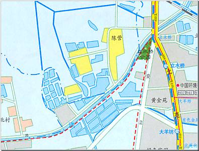
Move your mouse over the red circles on below map to see photos from those points
Point and click on any one of the river sections just above to switch to that section
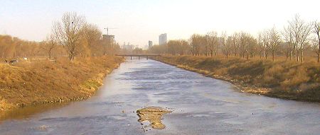
For the first time since its source, Qing River follows a natural and unregulated flow. The photo looks east and was taken in December 2005.
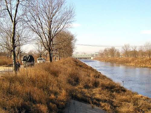
A dirt road runs parallel with the southern bank. A narrow, local bridge crosses the river and on its east side the river swings slightly more north (small photo).
The river makes yet another slight turn northwards and comes up on another small, local crossing.
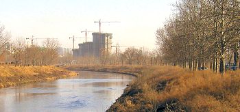
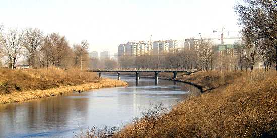
Note how the urban sprawl (right, background on large photo) encroaches on the old, local communities (left on larger photo and the small photo).
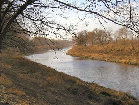
Another gentle curve in a tranquil environment.
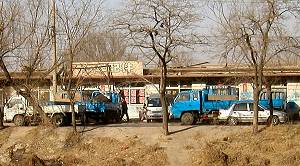
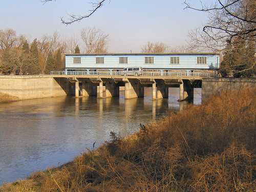
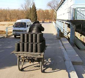
Yet another water control sluice. The smaller photo shows a very common winter sight in Beijing: The coal briquette delivery man. A major source of pollution!
Qing River arrives at the major junction of An Li Lu (white on map) and Bei Yuan Lu (yellow on map).
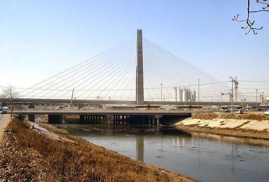
Urbanization is particularly rapid in this area and has prompted the construction of a new hanging bridge in order to alleviate the heavy north-south traffic congestion.
The elegant bridge carries elevated subway line 5, on this photo still in its late construction phase.
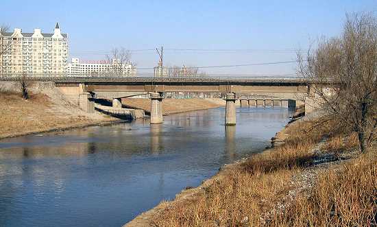
The Railroad crosses the river for the second and last time. In the foreground is the old train bridge carrying the long haul trains.
The new train bridge can be seen in the background under the southern bay of the old bridge. The new bridge carries the recently inaugurated elevated suburban commuter train -not to be confused with the additional one at the earlier circle.