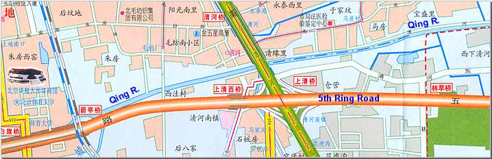
Move your mouse over the red circles on below map to see photos from those points
Point and click on any one of the river sections just above to switch to that section

Qing River passes under the main highway of Zhong Guan Cun Bei Dajie, still with a nice backdrop of the Western Hills.
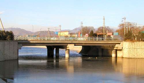
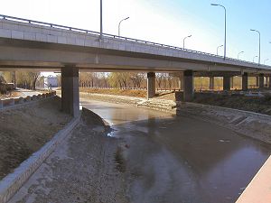
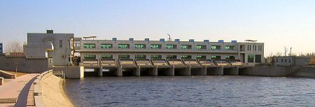
After passing under a bridge carrying local traffic (front, smaller photo below) the river meets up with yet another sluice.
The larger photo shows the east side of the sluice building.
A narrow road has been lining the south bank of the river ever since it crossed under 5th ring road.
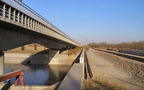
But Qinghe has now arrived at its junction with the northwest railroad tracks, which do not provide for any crossover other than by foot (can you spot the man walking along the tracks?).
Note the double tracks. The lower one carries traditional railway cars whereas the upper track is for a new, elevated commuter city railway line.
Also at this point the river veers slightly north away from running parallel with 5th ring road.
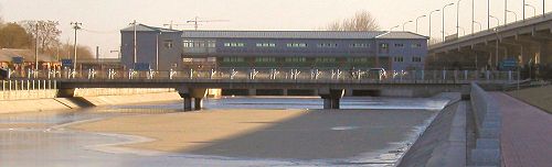
Shortly after passing under the railway tracks, visible in the background on the larger picture, a small, local tributary stream empties into Qinghe from south.
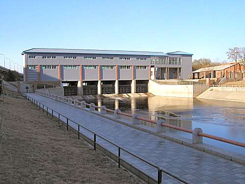
After a long, smooth curve the river comes up to another water control sluice -see the smaller photo.
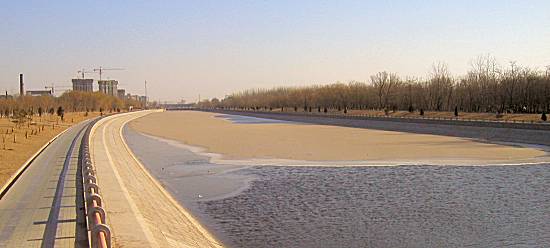
The sluice is also visible in the far background on the larger photo, but more interesting is the evidence of the typical Beijing sand drift. The slightly darker color at the lower part of the horizon is caused by the sand whipped up by the strong winds on this cold December day.
Note also the sand that the wind has deposited on top of the ice, which has formed on the river surface.
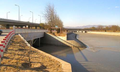
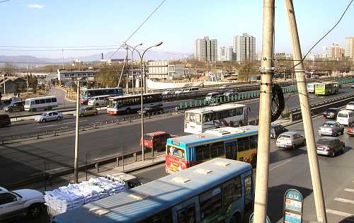
The Badaling expressway completed in 2001 crosses Qing river just east of the previous sluice (circle -in the rear). Each year the expressways whisks thousands of tourists from Beijing up to The Great Wall at Badaling, from where the highway gets its name.
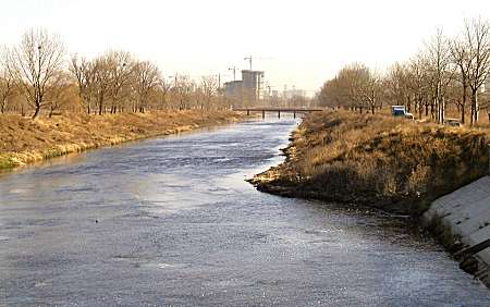
East of the expressway (smaller photo) the river enters a three kilometer long, quiet, almost straight stretch with no bridges.
A final glance westward. The river has plenty of water and stays ice free.
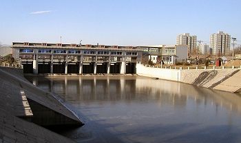
The river is crucial to Beijing's wastewater system. As an example, in December 2004 the construction of two additional, modern wastewater treatment plants was completed. When they were put into operation on Qing River, they not only added huge capacity to Beijing's overburdened water system but also greatly improved the cleanliness of the water in the river itself.
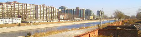
This upper photo shows the last section of Qing River, where the banks have been lined with concrete to prevent land slip.
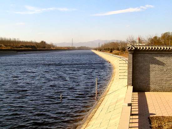
The photo below looks east from the other side of the water sluice. The concrete lining clearly ends abruptly on the right side and the river assumes its unaided natural flow.