


For many centuries the main eastern drainage of today's Beijing area was Ba River and its tributary, Liangma River, emptying their waters into the southeast flowing Wenyu River.
Up until the late part of the 13th century the areas around Ba River and Liangma River were farming country, resorts and forests where affluent citizens of the capital spent leisure time.
The rivers flowed far north of the site of Zhongdu, the Jin dynasty capital at that time, which was located around the southwestern part of today's Beijing. The rivers therefore played little role in the water system of the early capitals.
Instead these early capitals relied upon the western Yongding River and its southern drainage system terminating in the Wenyu River.
But Yongding River had frequently proven dangerous, often causing deadly floodings with huge loss of life and food.
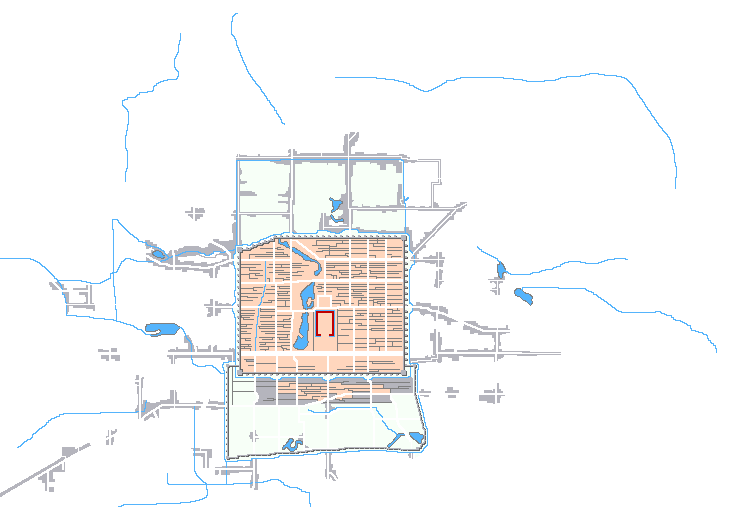
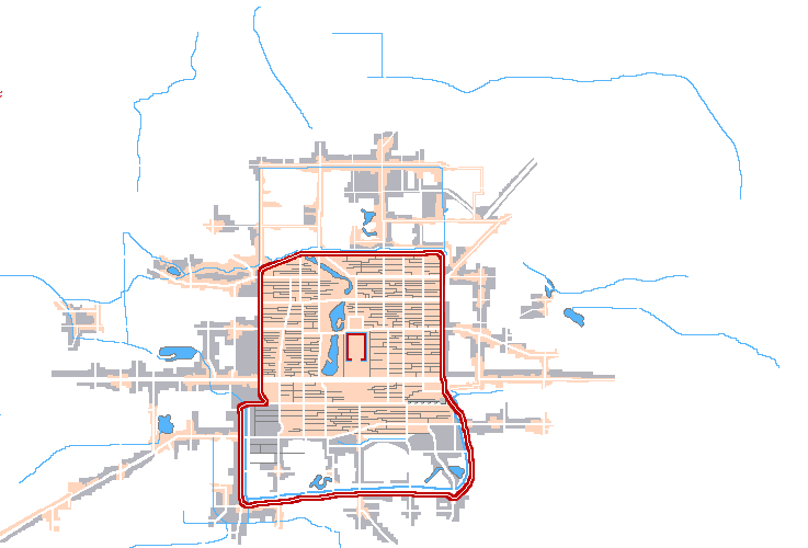
Kubilai Khan saw little point in pursuing the same disastrous water solution for his new capital, Dadu. Instead, his brilliant engineer, Guo Shoujing, located a northern water source and built the still extant Baifu Canal to lead the water into Dadu.
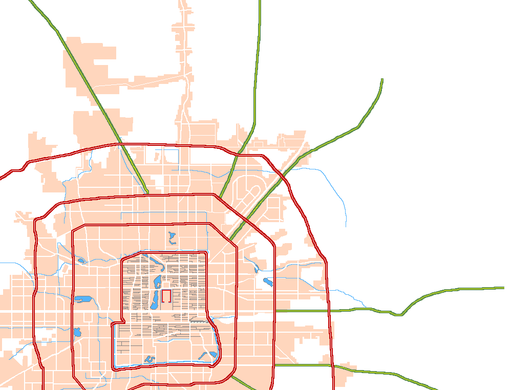
Baifu Canal ended in Kunming Lake in today's famous Summer Palace. From there the water flowed just north of today's Beijing Zoo and into the city proper just north of Xizhimen.
In 1293, Kubilai Khan's brilliant engineer, Guo Shou Jing, completed the escavation of a new, 17-18 km long canal from the southern part of Beijing all the way to Tongxian linking it up to the Grand Canal.
Upon returning from a hunting trip up north, Kubilai Khan was so pleased to see this new canal that he named it Tonghuihe, "the River of Communicating Grace".
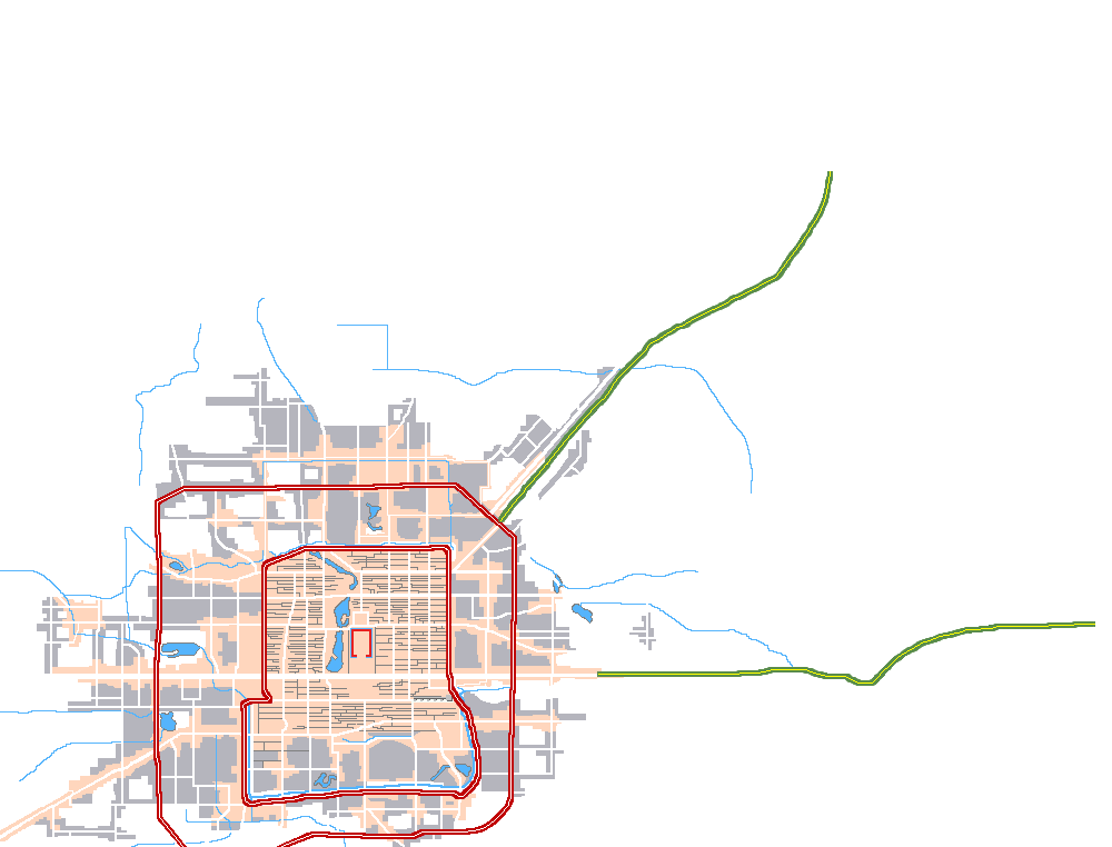
But it became increasingly inconvenient to use water flows through a major metropolis for drainage as the city kept growing ....
In the end it was obviously safer and more convenient to use an overflow waterway north of the metropolis...
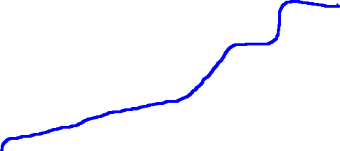
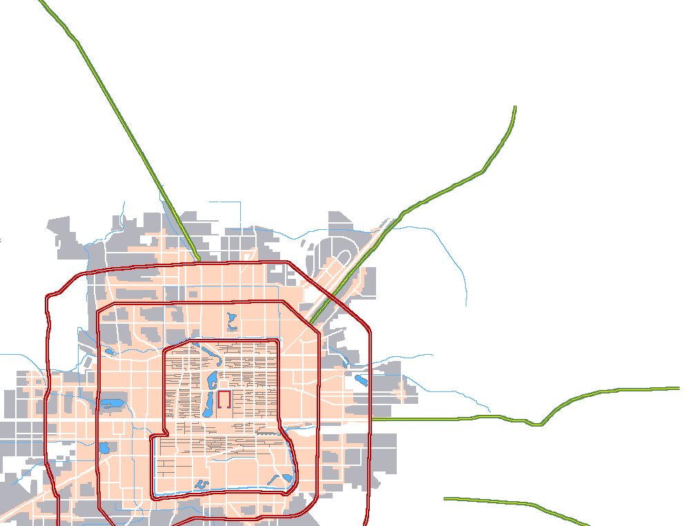
The solution was the Qing River.
The river originates a little north of today's Summer Palace. By connecting it to the Baifu Canal, Qing River could be used as overflow in times of high water levels, completely bypassing Beijing proper.
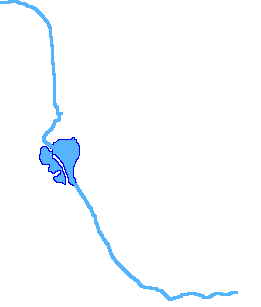
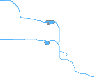
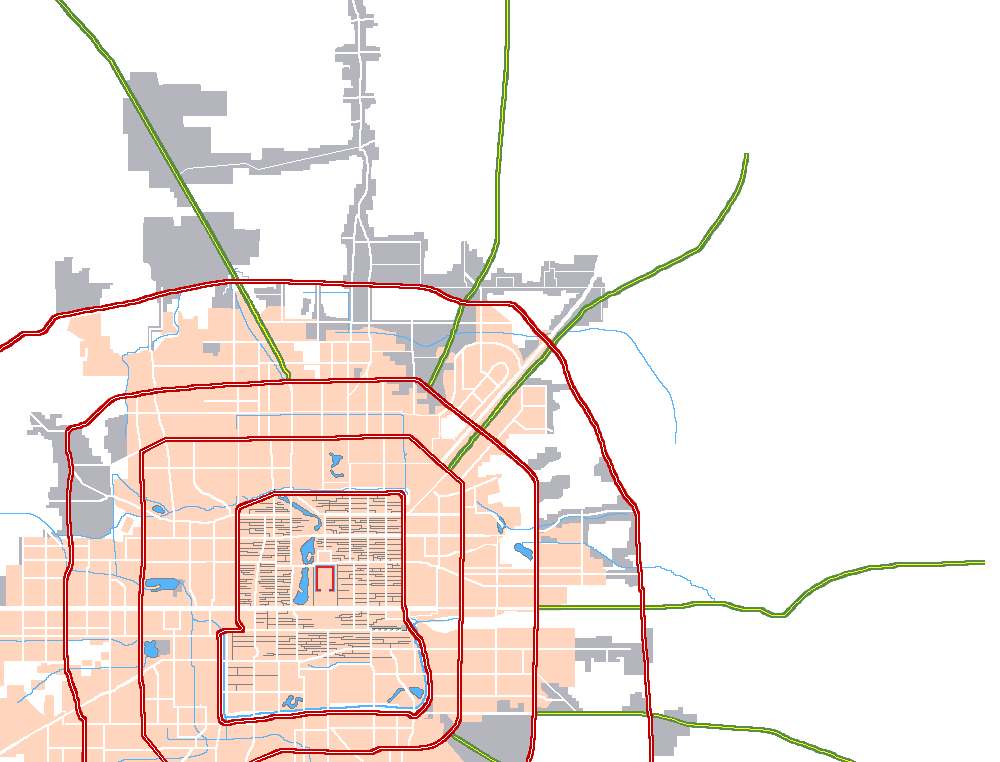
Frankly, Qing River itself is an incredibly "boring" river, if is appropriate to call a river "boring".
Judge for your self from the pictures on the following pages.